More snow coming, watch out on the roads.
05 June 2025, 7:36 PM
New Zealand Transport Agency Waka Kotahi (NZTA) is urging motorists not to get caught out as more snow is forecast across the South Island leading into the weekend.
Heavy snow warnings or watches have been issued by the MetService from tomorrow, with heavy snow down to 300m potentially causing travel disruption, damage to trees and powerlines in Central Otago and Canterbury, from the Rangitata River southwards.
Queenstown Lakes is also facing potentially heavy snow to 400m, and snow is expected to fall about the Dunedin-Waitati Highway (SH1) from about 10am tomorrow
North of the Rangitata River, Canterbury and southern Marlborough may also be affected, with heavy snow possible down to 400m. Mountain passes across the island may be impacted as snow accumulates.
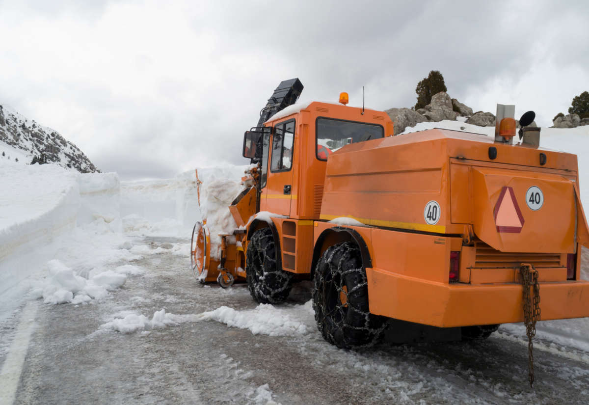
“We got off relatively lightly with the snow so far this week,” says NZTA system manager Mark Pinner.
“The highway closures we had in the MacKenzie Country were only short-lived and the impact was not widespread. If you are heading away for the weekend, and especially if you are travelling on highways at higher elevations, make sure you are prepared and plan ahead using our Journey Planner.”
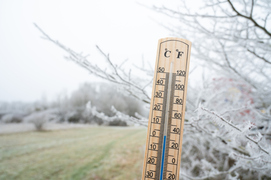
In addition to accumulating snow, the accompanying cold temperatures create risks of frost and ice on the roads.
“If you can avoid or delay travel on roads while there is elevated risk, that’s sensible.”
NZTA will be working with its partners to keep a close eye on the State Highway network around the south and responding with its crews as required.
In the Westland District, motorists are encouraged to be prepared for potentially severe gale force southeast winds from tomorrow afternoon.
To keep updated you can phone: 0800 4 HIGHWAYS (0800 44 44 49)
Updates will be provided on The Central App Weather & Reports