New hazard analysis mapping for Otago

Staff Reporter
05 June 2025, 6:00 PM
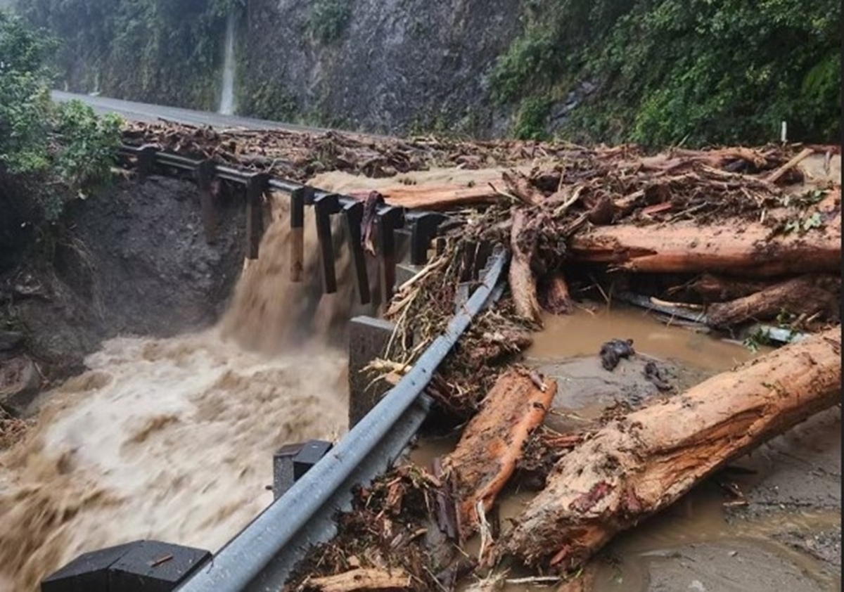
A new report released by the Otago Regional Council (ORC) marks a major step forward in understanding how communities across Otago are exposed to natural hazards such as flooding, earthquakes, landslides, and tsunami.
The Otago Region Natural Hazards Exposure Analysis is the region’s first comprehensive assessment of where people, buildings, and critical facilities may be situated in areas potentially affected by one or more natural hazard types.
“This analysis provides a regional-scale, data-driven snapshot that will help guide how we prioritise future resilience projects and hazard investigations,” manager natural hazards, Dr Jean-Luc Payan said.
The report assessed exposure to nine key natural hazard types using regional-scale mapping and modelling datasets. It estimated the number of people, buildings, and critical community facilities (such as hospitals and emergency services) located in areas which may be exposed to natural hazards.
“This work is not about predicting when an event might happen,” Dr Payan explained. “It’s about identifying where exposure exists so we can make smarter decisions about resilience, planning and investment.”
Following presentation to council, work could begin prioritising areas and hazard types of most concern, working with communities, city and district councils to develop strategies to reduce risk.
Key Findings
- River and lake flooding and liquefaction hazard types have the greatest exposure, with over 30,000 people and buildings potentially exposed to each hazard process.
- Of the urban areas in the region, Dunedin City has the highest overall exposure, particularly to flooding, liquefaction and seismic hazards.
- The Queenstown, Wanaka and Dunedin City urban areas have a relatively high exposure to slope stability hazards, such as landslides and alluvial fans.
- Coastal hazards, such as tsunamis and storm surges, have a lesser exposure overall (about 500 people and 1,100 buildings), and mainly in the Dunedin City and Clutha district.
- There were 90 critical community facilities identified in the region, with the highest exposure of these facilities being for flooding and liquefaction hazard types.
The findings provided a critical foundation for ORC’s natural hazards prioritisation programme, scheduled to begin in the 2025/26 financial year. The information will also support:
- Long-term planning and land-use decisions.
- Emergency management and regional policy development.
- Infrastructure management and resilience-building projects.
The analysis would assist ORC and partner organisations, including Emergency Management Otago and territorial authorities, to focus natural hazard management efforts where they were most needed.
The natural hazards data came from ORC’s region-wide natural hazards mapping, developed using interpretation from aerial imagery and topography, and modelling. While it offered broad-scale insights, it did not replace local-scale studies or individual property hazard or risk assessments.
The regional council would now use the findings of the natural hazard exposure analysis as one tool to help identify and prioritise the areas most exposed for further study and investment. The natural hazards prioritisation workstream was scheduled to conclude by mid-2026.
