Central winter outlook, colder than previous
Anna Robb
07 June 2023, 5:30 PM
 A farmer’s morning view in the Ida Valley yesterday (June 7). PHOTO: The Central App
An “unsettled” start to a colder winter has arrived this month, according to expert forecasters.
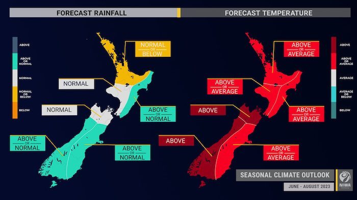
NIWA seasonal climate outlook for June to August stated it will be a “very unsettled start to winter”, with possible high impact weather events bringing heavy rain, snow and wind during the first half of the month.
NIWA meteorologist/forecaster Ben Noll said with the El Niño climate driver people should expect more southerly-quarter winds.
“It will feel, relative to last winter, quite a bit colder.”
NIWA said in the last ten days of June, there may be a “reprieve” and some more settled conditions and these go into July and August with high pressure building in the Tasman.
For much of the eastern South Island’s rainfall, the expectation is that it will be “front loaded” and wetter in June than in July and August.

NIWA seasonal outlook for June to August for temperature and rainfall. PHOTO: Supplied
Soil moisture levels and river flows are about equally likely to be near normal (40 per cent chance) or above normal (35-40 per cent chance).
For the short term outlook, MetService communications meteorologist Andrew James said high pressure stays in charge over the South Island this week.

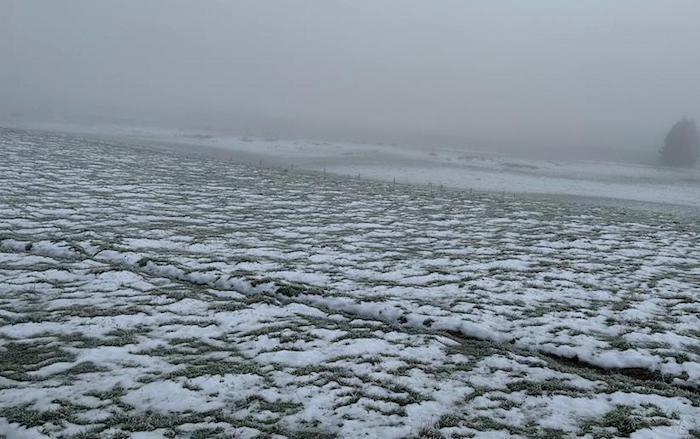
Fog and frost in Maniototo. PHOTO: The Central App
“It’s looking like more of the same over the next few days for Central. Generally settled and fine weather but there could be some cloud around in valleys overnight and in the mornings over the next few days.
“Chilly temperatures continue, Alex is set to dip down to -5C tonight,” Andrew said.
Stay up to date with roads and weather on The Central App Reports section. We will Updates of the Roads over Winter at 6.30 am each morning. Keeping you safe this winter on our roads.


