Central shivers under the inversion

Anna Robb
18 June 2025, 5:45 PM
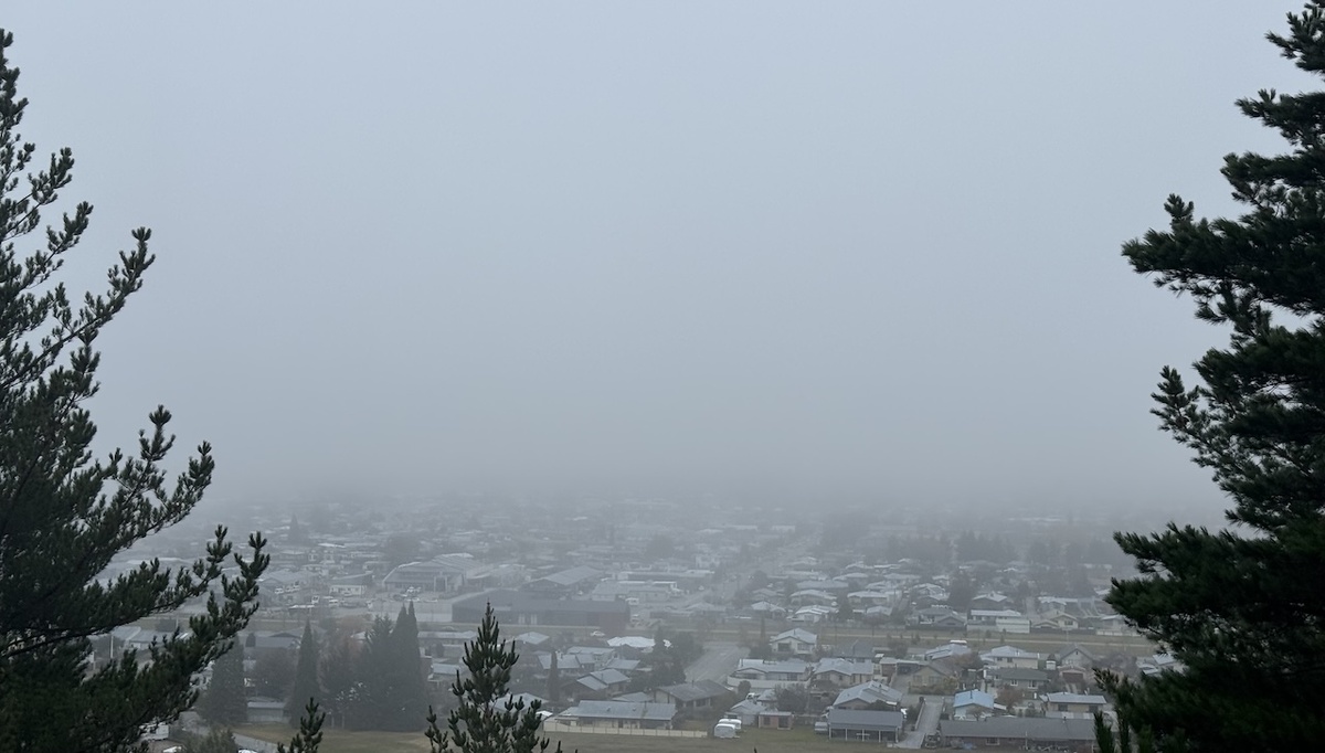 The view of Alexandra from Boot Hill is shrouded in freezing fog on Wednesday morning. Photo: The Central App
 Locals say “here by 7am, gone by 11am”, but that hasn’t been the case for much of this week as parts of Central have been plunged into the winter inversion.
The inversion is an annual weather event which results from rapid cooling at ground level under clear sky conditions.
The cloud is formed at low levels due to the temperature difference of the air just above the surface of the land and the air higher up.
The theme has been chilly nights and some foggy mornings across the district.
MetService meteorologist Devlin Lynden said people will really feel those frosty starts, "particularly inland where we’re expecting consistent cold temperatures".
“With clear skies great for early Matariki viewing, much of the South Island is dipping well into the negatives in the mornings - lovely winter temperatures.”
Parts of the South Island can expect persistent fog and low cloud to form under these settled conditions, especially in valleys.
“Towns like Wanaka, Queenstown, and Alexandra, and those in the Mackenzie Basin may feel a bit grey and gloomy, unless you escape up to the ski fields where the sun will be out in full force” Devlin said.
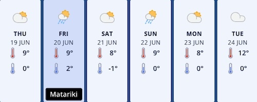
Central’s seven day forecast. Photo: MetService
It's time to restock the firewood basket, and put on another woollen jumper - but by mid next week temperatures are forecast to improve and hit the low teens.
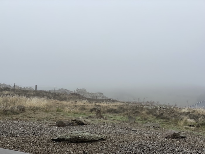
From Bridge Hill towards Clyde on Wednesday. Photo: The Central App
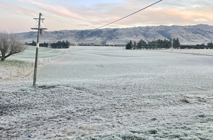
Winter frost in Ida Valley on Sunday, and more frosts are forecast this week. Photo: The Central App
Weather & Reports Check the Roads before you leave home. Some highways closed due to black ice.
Have a story to share?
Contact [email protected]
NEWS


ROADS