Rain causes flooding across Central Otago

Rowan Schindler
01 January 2021, 11:01 PM
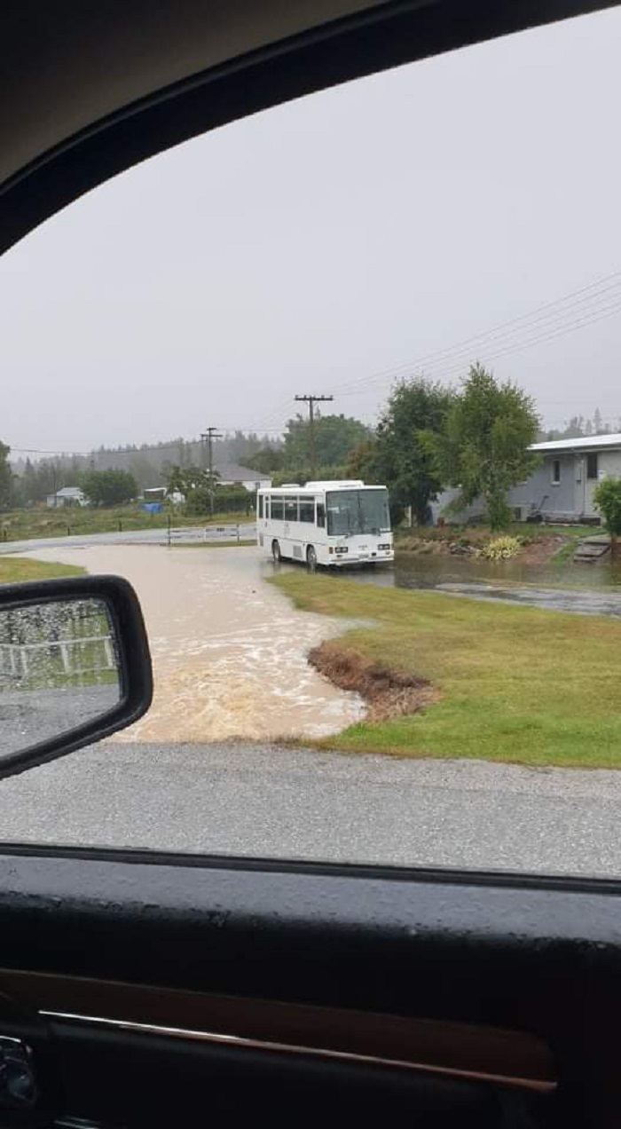
 Rain is falling across Central Otago, with surface flooding and roads closed. Pictured: Kyeburn River at SH85 (Middlemarch turnoff).
 Heavy rain continues to impact Central Otago, with reports of road closures and washouts.
According to MetService, a heavy rain watch has been issued for Central Otago.
“Rain, heavy at times, and amounts may approach warning criteria in some of these areas. Thunderstorms are also possible this afternoon and evening.”
MetService Meteorologist Rob Kerr said parts of North Otago have seen close to 100mm of rain in the last 12 hours, and many stations recording 30-60mm in that time.
Metservice has extended the Heavy Rain Warning along the coast into the early hours of Sunday morning, with a further 100mm possible there.
“That is far in excess of their normal warning criteria, so there is a significant concern with flooding in that area.
“As the rain also extends further inland, so does the associated Severe Weather Watch.
“In addition, we may see thunderstorms, or possible even severe thunderstorms with rain rates approaching 40mm/hr for north Otago and southern Canterbury this afternoon and evening.
“The rain band pulls away to the south early tomorrow, but there will be further risk of thunderstorms through tomorrow afternoon and evening.”
Flooding at Oughter Street and Avoca Street, Naseby. Photo contributed.
Maniototo’s Burn 729am radio station reported a road washout on their Facebook page.
“Unofficial road Report - Road Washout heading to Dansey's Pass, The river is bank to bank. Council has been informed and will send a crew out ASAP.”
A Fulton Hogan spokesperson told The Central App a number of Maniototo roads are closed.
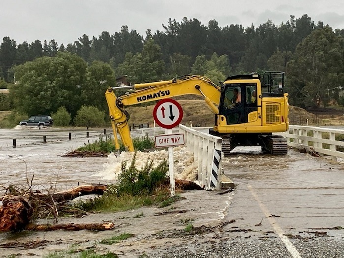
Patearoa Bridge is closed. Photo contributed.
Duffy Lane is closed, so too Patearoa Township Bridge - detour available via Aitken Road and McSkimming Road.
Kokonga Road and Auripo Road (Boundary to Thurlow Rd) are closed.
Caution advised for O’Neil Road – between Pigburn and Ranfurly Patearoa Roads – due to washouts and flooding.
Caution is also advised for Waipiata Patearoa Rd (washouts and flooding).
SH87 at Middlemarch is flooded, as well as SH6 between Wye Creek and Kingston.
“Teams will be working in the Maniototo clearing debris off bridges and culverts to reduce flooding,” the spokesperson said.
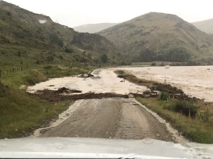
Dansey’s Pass is washed out. Photo contributed.
“Will update further as conditions change.”
According to the Otago Regional Council river monitoring website, the Manuherekia River flow rate at Chatto Creek has gone from 1.3 cumecs per second to 10.29 cumecs in just 24 hours.
Flooding on Dunstan Road, Alexandra. Photo courtesy Sarah Davis/Facebook.
Fulton Hogan issued a general warning due to the rainfall experienced and further forecasted for the remainder of today.
“There are areas of isolated surface flooding across the Central Otago District - please remember to reduce your speeds and drive to the conditions.
“River levels are starting to rise, if you are camping, take advice and relocate to higher grounds.”
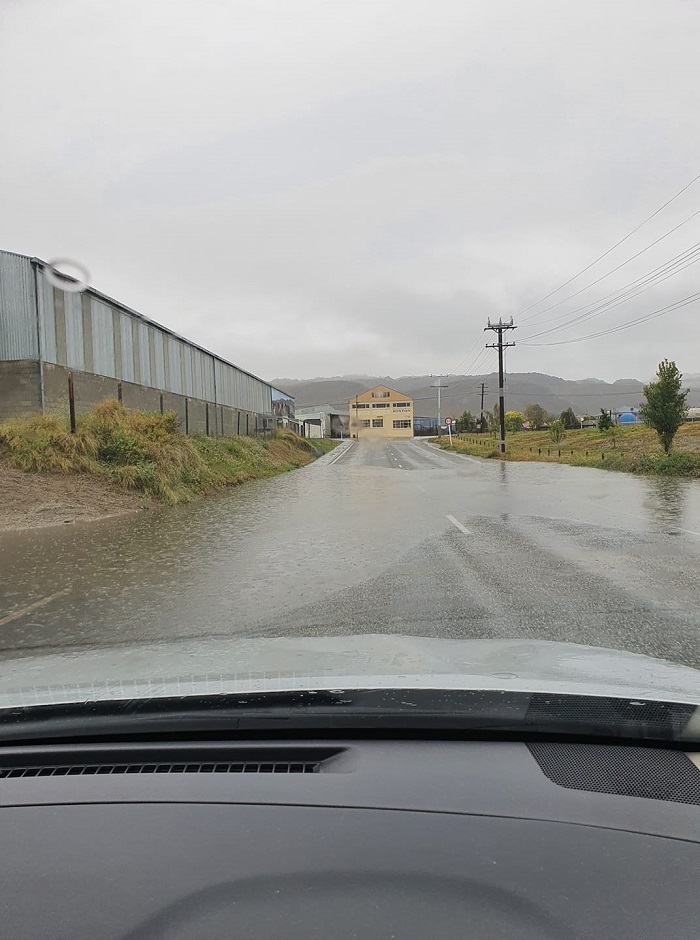
Drivers across the district are being warned to drive to conditions, with surface flooding effecting roads and causing unexpected hazards.


