Goodbye winter, hello spring
Rowan Schindler
31 August 2021, 4:55 PM
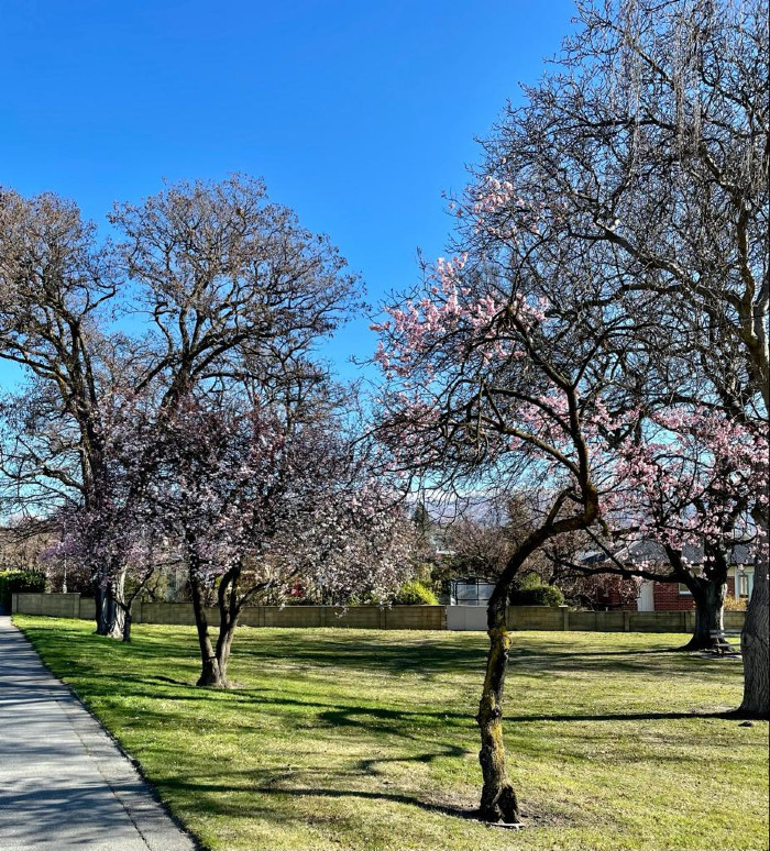
 Meteorological spring has sprung and Central Otago hopes for a settled season. Photo: Beth Hamilton.
 Meteorological spring officially starts today, with blossom trees across the region showing off their colours with hopes for frosts and wild weather to stay away.
MetService is forecasting a relatively calm start to meteorological spring.
MetService meteorologist David Miller explains, an improving trend is expected after a low in the north flooded parts of Auckland.
Showers in the east of both Islands eased yesterday, as a high pressure builds in the south.
“Although spring is usually characterised by fast-moving weather systems, mostly settled weather is forecast for much of the country this week, apart from a few showers in the east of the North Island.”
“Morning frosts are also possible in parts of the South Island,” David says.
A southerly change does spread up the South Island late Wednesday into Thursday, but any showers associated with this are expected to be brief.
High pressure then remains firmly in charge to end the working week.
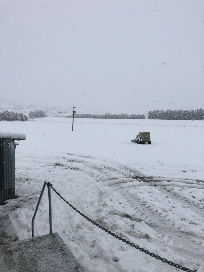
Last year, September 1 featured snow in many parts of Central Otago, with a decent blanket covering the Maniototo.

Snow in the Ida Valley. September 1 2020. Photo contributed.
Clyde Orchard’s Kris Robb says, “after what seemed like a wet winter the ground is starting to dry out and warm up now”.
“We think the season is running about ‘normal’ time wise.
“At the moment we’ve got all the ingredients for a great crop this year and are cautiously optimistic about the season, all we need now is a warm settled spring and a dry summer.”
Kris says the upcoming fruit season faces challenges, mostly from the lack of seasonal workers.
“Recruitment and retention of staff is always going to be a hurdle,” Kris says.
“But on a day like today there’s not many better places to be.”

Blossoms in Alexandra August 31, 2021 - total contrast to this time last year.


