Cold snap on the way
Staff Reporter
18 August 2025, 12:00 AM
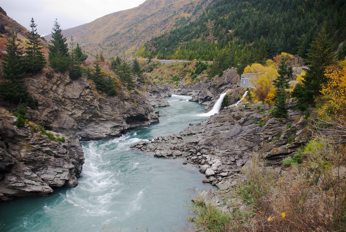
 Patchy snow on the Pisa Range yesterday (Sunday August 17). Photo: The Central App
A cold snap moving up the South Island today (Monday August 17) and tomorrow has prompted a warning to motorists to plan ahead and prepare for disruption on inland state highways and at alpine passes.
Snow has been falling this morning in Southland, and MetService has issued road snowfall warnings from today for the South Island’s alpine passes, Milford Road (State Highway 94) and the Crown Range.
New Zealand Transport Agency Waka Kotahi (NZTA) already has area warnings in place due to snow and ice on State Highway 85 from Ranfurly to Becks, on SH94 from Mossburn to Te Anau, and Te Anau to Milford.
Forecasts supplied to NZTA suggest about 10cm of snow could fall at Porters Pass (State Highway 73) above 600m tomorrow morning. Snowfalls of this quantity could require closure of parts of SH73.
Snow is also expected elsewhere in inland Canterbury tomorrow morning, above 300m. Up to 5cm is expected in many places, especially State Highway 7 west of the Hanmer Springs turnoff, and SH73 east of Craigieburn Cutting.
The forecasts provided to NZTA also show up to 5cm of snow is expected today in the Tekapo, Burkes Pass and Aoraki-Mount Cook areas, affecting State Highways 8 and 80, with further snow showers tomorrow.
Very frosty conditions are expected in the days to follow, which is likely to mean icy roads.
“Our crews will be out and ready to clear snow and lay grit or a de-icing agent on icy roads,” NZTA system manager Mark Pinner said.
“If conditions are considered bad enough, temporary speed reductions or road closures are also possible.
“We want to remind motorists to drive with care and to the conditions – including being visible, reducing speed, adjusting the travelling distance behind other motorists and avoiding sudden braking or turning movements.”
NEWS