Central Otago shivers overnight

Rowan Schindler
26 May 2021, 2:05 AM
 Oturehua reportedly froze at -10.3°C as a cold blast whipped through the region overnight. Photo: Elizabeth Anne O'Neill/Facebook.
 Central Otago awoke to the coldest morning of the year, with temperatures down to -10°C in some parts of the district.
Local’s temperature ratings, according to Otago Weather Update, states Oturehua (-10.3°C) was the chilliest, while Moa Creek (-9.7°C), Gimmerburn (-8.6°C), Springvale (-8.5°C), Ophir (-8.4°C), Ranfurly (-8.2°C), Omakau ( -8.1°C), Lauder (-8.0°C), Naseby (-6.7°C), Alexandra (-5.9°C), Clyde (-5.5°C) and Cromwell (-0.5°C) all shivered.
Roxburgh (1.5°C) was barely impacted by the chill, positively wearing summer bathers compared to Oturehua.
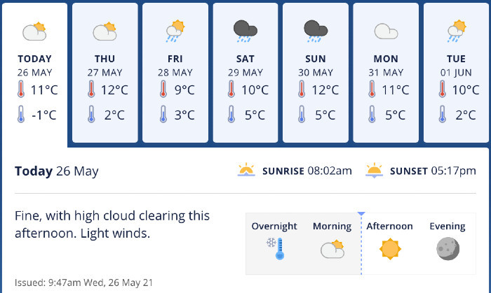
Looking ahead, MetService meteorologist Ashlee Parkes says this morning ‘s child was “not totally unseasonable”.
“We have had a very cold morning across the South Island this morning,” she says. “(Officially) the coldest in the country at 7am was Tekapo at -8.2C. Dunedin Airport was -7.1C and Timaru was -5.9C.
“This is not totally unseasonable, we saw a cold snap at the beginning of May, but it is colder than average.
“Areas will again experience a cold night overnight tonight, with many areas, including Central Otago, experiencing morning frosts.”
Central Otago will be in for ‘dynamic’ weather this weekend, according to MetService. Image: Metservice.
Ashlee says Aotearoa New Zealand is in for some very dynamic weather this weekend.
“High cloud with gradually develop throughout tomorrow for Central Otago.
“Occasional rain with begin to develop Friday afternoon and will continue through the weekend as a southeasterly flow continues to feed moisture into the area.
“Severe weather is possible for some areas and our current main concern is heavy rain.
A cold front moves onto Fiordland tomorrow (Thursday). As this feature tracks its way up the country, a low forms behind it in the Tasman Sea and rapidly deepens during Friday.
“This low pressure system is our main player for the weather over the weekend.
As this low deepens, a strong east to northeast wind gradient is established across the South Island.
This onshore flow will help drag moisture onto the eastern South Island.
“There is still some disagreement between the models in exactly where the heaviest rain will be, but we are confident that we will see some heavy falls somewhere in the east throughout the weekend.
“Given the current long dry spell for these eastern areas, sudden heavy rain is likely to cause flooding and other potential hazards.
“We are keeping an eye on the situation and will issue the appropriate Watches and Warnings ahead of time.”
Ashlee says this weekend will not be a cold outbreak, temperatures will be about normal for this time of year.
“Since this low system has formed in the Tasman Sea, there is no significantly cold air with it.
“Snow is currently expected down to 800m in Fiordland on Saturday, to 1000m for Southern Lakes and Mt Aspiring National Park, and to 1200m in the Canterbury High Country.
“Snow levels are expected to slightly lift for these areas on Sunday. Our main concern for the weekend is the heavy rain as this snow fall does not look unseasonable.
“This low pressure system is very dynamic and it is hard to say for certain what we will see in the beginning on next week (our Meteorologist look in detail about 5 days out).”


